


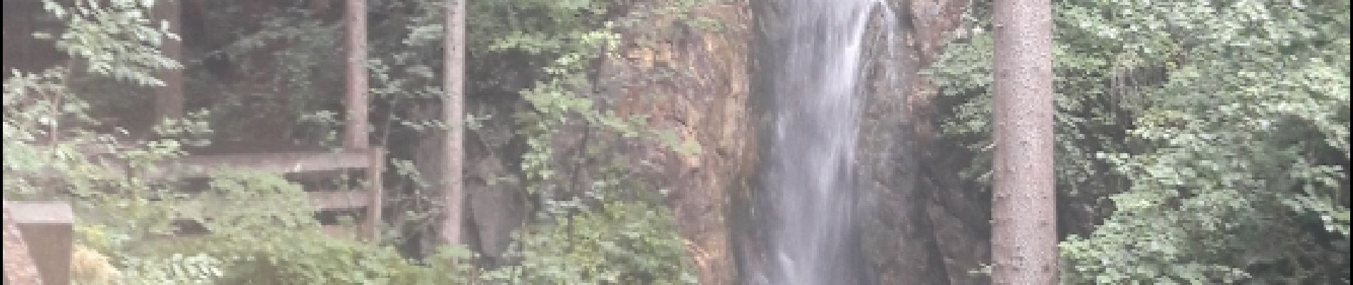
Gilfenklamm

VacheKiri67
User

Length
5.9 km

Max alt
1166 m

Uphill gradient
211 m
Km-Effort
8.7 km

Min alt
965 m

Downhill gradient
211 m
Boucle
Yes
Creation date :
2017-07-30 00:00:00.0
Updated on :
2017-07-30 00:00:00.0
2h19
Difficulty : Easy

FREE GPS app for hiking
 SityTrail
IGN / Geographical institutes
SityTrail Plus
The world is yours!
About
Trail Walking of 5.9 km to be discovered at Trentino-Alto Adige/Südtirol, South Tyrol, Ratschings - Racines. This trail is proposed by VacheKiri67.
Description
Faite le 24/07/2017 avec notre fils Théo de 12 ans.
Photos


26 photos in total. Please click on a photo to see them all in the gallery.
Positioning
Country:
Italy
Region :
Trentino-Alto Adige/Südtirol
Department/Province :
South Tyrol
Municipality :
Ratschings - Racines
Location:
Unknown
Start:(Dec)
Start:(UTM)
681625 ; 5194895 (32T) N.
Comments
Parcours dans des gorges aménagées avec des passerelles.